
龙泉街道 topographic map
Interactive map
Click on the map to display elevation.
About this map
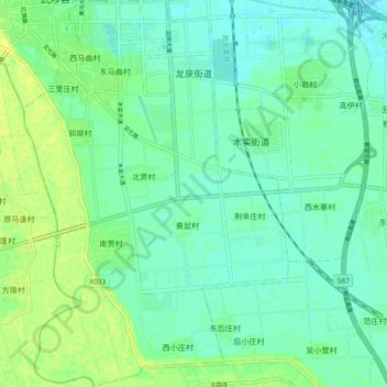
Name: 龙泉街道 topographic map, elevation, terrain.
Location: 龙泉街道, 武陟县, 焦作市, 河南省, 454900, 中国 (35.02152 113.39336 35.09796 113.45761)
Average elevation: 94 m
Minimum elevation: 87 m
Maximum elevation: 104 m