
النعي topographic map
Interactive map
Click on the map to display elevation.
About this map
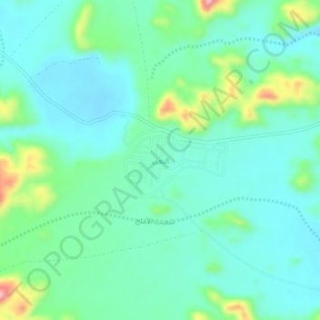
Name: النعي topographic map, elevation, terrain.
Location: النعي, محافظة الشنان, Provincia de Hail, Arabia Saudita (27.15369 42.27235 27.19369 42.31235)
Average elevation: 1,062 m
Minimum elevation: 1,022 m
Maximum elevation: 1,191 m
Other topographic maps
Click on a map to view its topography, its elevation and its terrain.
محافظة حائل
Arabia Saudita > Provincia de Hail
محافظة حائل, Provincia de Hail, Arabia Saudita
Average elevation: 936 m