
金峯山 topographic map
Interactive map
Click on the map to display elevation.
About this map
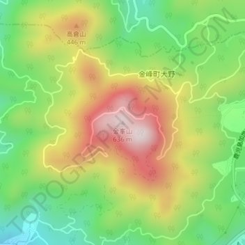
Name: 金峯山 topographic map, elevation, terrain.
Location: 金峯山, Minamisatsuma, Préfecture de Kagoshima, Kyūshū, Japon (31.46773 130.38299 31.46783 130.38309)
Average elevation: 291 m
Minimum elevation: 41 m
Maximum elevation: 598 m