Innerer Kitzinghof topographic map
Interactive map
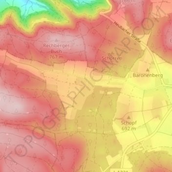
Click on the map to display elevation.
About this map
Name: Innerer Kitzinghof topographic map, elevation, terrain.
Average elevation: 695 m
Minimum elevation: 527 m
Maximum elevation: 776 m

Click on the map to display elevation.
Name: Innerer Kitzinghof topographic map, elevation, terrain.
Average elevation: 695 m
Minimum elevation: 527 m
Maximum elevation: 776 m