
La Gileppe topographic map
Interactive map
Click on the map to display elevation.
About this map
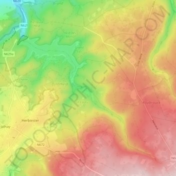
Name: La Gileppe topographic map, elevation, terrain.
Location: La Gileppe, Baelen, Verviers, Luik, Wallonië, 4837, België (50.54219 5.96977 50.60261 6.05383)
Average elevation: 394 m
Minimum elevation: 224 m
Maximum elevation: 533 m