
Magunga topographic map
Interactive map
Click on the map to display elevation.
About this map
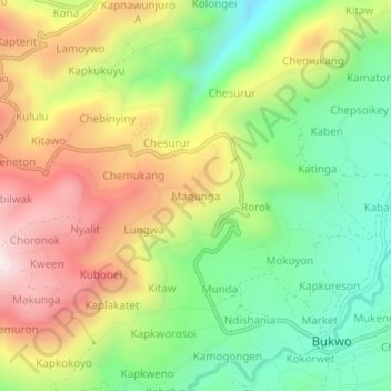
Name: Magunga topographic map, elevation, terrain.
Location: Magunga, Bukwo, Eastern Region, Uganda (1.28391 34.70708 1.32391 34.74708)
Average elevation: 2,028 m
Minimum elevation: 1,710 m
Maximum elevation: 2,431 m