
Malu Vânăt topographic map
Interactive map
Click on the map to display elevation.
About this map
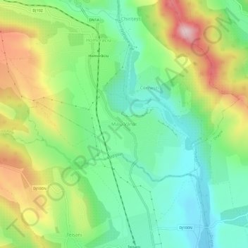
Name: Malu Vânăt topographic map, elevation, terrain.
Location: Malu Vânăt, Prahova, 107324, Romania (45.23585 26.00220 45.27585 26.04220)
Average elevation: 494 m
Minimum elevation: 382 m
Maximum elevation: 685 m