
赤平 topographic map
Interactive map
Click on the map to display elevation.
About this map
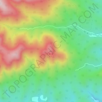
Name: 赤平 topographic map, elevation, terrain.
Location: 赤平, 田子町, 三戶郡, 青森县, 039-0316, 日本 (40.30768 141.05585 40.30778 141.05595)
Average elevation: 377 m
Minimum elevation: 190 m
Maximum elevation: 641 m