
Make a donation
Gear up for your next adventure:
As an Amazon Associate, this site earns from qualifying purchases at no extra cost to you.
Big Spring topographic map
Click on the map to display elevation.
Make a donation
Gear up for your next adventure:
As an Amazon Associate, this site earns from qualifying purchases at no extra cost to you.
About this map
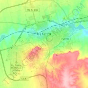
Name: Big Spring topographic map, elevation, terrain.
Location: Big Spring, Howard County, Texas, United States (32.19339 -101.53611 32.28066 -101.40186)
Average elevation: 781 m
Minimum elevation: 719 m
Maximum elevation: 867 m
Make a donation
Gear up for your next adventure:
As an Amazon Associate, this site earns from qualifying purchases at no extra cost to you.
Other topographic maps
Click on a map to view its topography, its elevation and its terrain.
Big Spring
United States > Texas > Howard County
The spring was sourced from a relatively small aquifer situated on the northern end of the Edwards Plateau and the southern end of the High Plains, being, structurally, a collecting sink of lower Cretaceous (Fredericksburg) limestones and sands. The spring aquifer held a large quantity of water due to the…
Average elevation: 781 m