
Marknesse topographic map
Interactive map
Click on the map to display elevation.
About this map
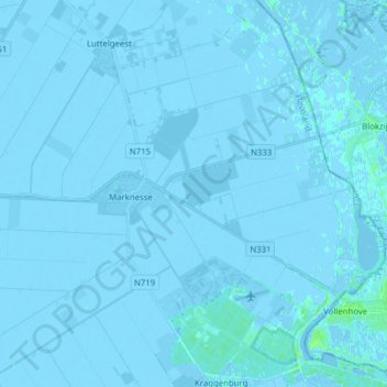
Name: Marknesse topographic map, elevation, terrain.
Location: Marknesse, Noordoostpolder, Flevoland, Niederlande (52.66753 5.80962 52.75117 5.96516)
Average elevation: -1 m
Minimum elevation: -5 m
Maximum elevation: 9 m