
Nggela topographic map
Interactive map
Click on the map to display elevation.
About this map
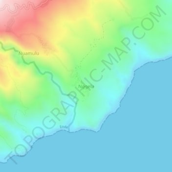
Name: Nggela topographic map, elevation, terrain.
Location: Nggela, East Nusa Tenggara, Indonesia (-8.86043 121.82659 -8.82043 121.86659)
Average elevation: 166 m
Minimum elevation: 0 m
Maximum elevation: 672 m