
Cañanda topographic map
Interactive map
Click on the map to display elevation.
About this map
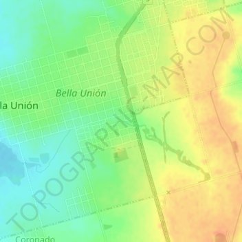
Name: Cañanda topographic map, elevation, terrain.
Location: Cañanda, Bella Unión, Artigas, 55100, Uruguay (-30.26353 -57.59355 -30.26257 -57.59016)
Average elevation: 57 m
Minimum elevation: 37 m
Maximum elevation: 75 m