
Kedungkandang topographic map
Interactive map
Click on the map to display elevation.
About this map
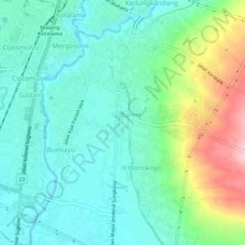
Name: Kedungkandang topographic map, elevation, terrain.
Location: Kedungkandang, Malang, East Java, Java, 65135, Indonesia (-8.03156 112.62448 -7.99156 112.66448)
Average elevation: 453 m
Minimum elevation: 398 m
Maximum elevation: 601 m