
Yolüstü topographic map
Interactive map
Click on the map to display elevation.
About this map
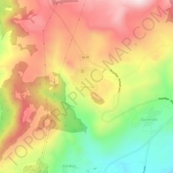
Name: Yolüstü topographic map, elevation, terrain.
Location: Yolüstü, Reşadiye, Tokat, Black Sea Region, Turkey (40.42708 37.28396 40.46708 37.32396)
Average elevation: 1,009 m
Minimum elevation: 679 m
Maximum elevation: 1,294 m
Other topographic maps
Click on a map to view its topography, its elevation and its terrain.