Geolocate

Amba topographic map

Click on the map to display elevation.

About this map

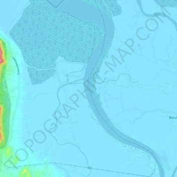
Name: Amba topographic map, elevation, terrain.

Location: Amba, Alibag Taluka, Raigad District, Maharashtra, India (18.70009 72.97201 18.79549 73.02815)

Average elevation: 5 m

Minimum elevation: -5 m

Maximum elevation: 173 m

Other topographic maps

Click on a map to view its topography, its elevation and its terrain.

Kihim Beach

India > Maharashtra > Alibag Taluka

Average elevation: 3 m

Gear up for your next adventure:

🛌Insulated Sleeping Mats - Crucial thermal protection when sleeping on cold, uneven ground
🧺Ultralight Dry Bags - Organize and waterproof your gear inside your rucksack
👖Packable Overtrousers - Quick-deploy rain protection for legs in sudden storms
🩹Hiking First Aid Kits - Compact medical kits tailored for trail injuries and emergencies
🚲Bikepacking Frame Bags - Storage for tools and navigation gear on long off-road rides

As an Amazon Associate, this site earns from qualifying purchases at no extra cost to you.