
Roosevelt Beach Conservation Area topographic map
Interactive map
Click on the map to display elevation.
About this map
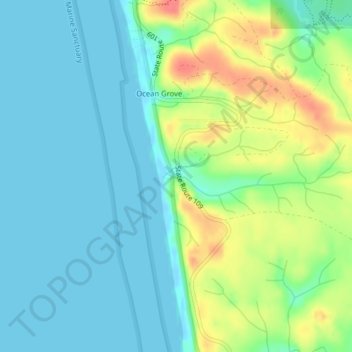
Name: Roosevelt Beach Conservation Area topographic map, elevation, terrain.
Average elevation: 18 m
Minimum elevation: -3 m
Maximum elevation: 60 m