
Thank you for supporting this site ❤️
Make a donation
Make a donation
Gear up for your next adventure:
As an Amazon Associate, this site earns from qualifying purchases at no extra cost to you.
لاله topographic map
Click on the map to display elevation.
Thank you for supporting this site ❤️
Make a donation
Make a donation
Gear up for your next adventure:
As an Amazon Associate, this site earns from qualifying purchases at no extra cost to you.
About this map
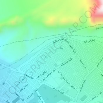
Name: لاله topographic map, elevation, terrain.
Location: لاله, Darab, بخش مرکزی, Darab County, Fars Province, Iran (28.76970 54.55782 28.77128 54.55979)
Average elevation: 1,261 m
Minimum elevation: 1,142 m
Maximum elevation: 1,689 m
Thank you for supporting this site ❤️
Make a donation
Make a donation
Gear up for your next adventure:
As an Amazon Associate, this site earns from qualifying purchases at no extra cost to you.