
North Newton topographic map
Interactive map
Click on the map to display elevation.
About this map
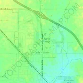
Name: North Newton topographic map, elevation, terrain.
Location: North Newton, Harvey County, Kansas, 67117, United States (38.06513 -97.35666 38.08640 -97.33654)
Average elevation: 442 m
Minimum elevation: 433 m
Maximum elevation: 449 m