
Make a donation
Gear up for your next adventure:
As an Amazon Associate, this site earns from qualifying purchases at no extra cost to you.
Jebel Jais topographic map
Click on the map to display elevation.
Make a donation
Gear up for your next adventure:
As an Amazon Associate, this site earns from qualifying purchases at no extra cost to you.
Jebel Jais
Jebel Jais (Arabic: جَبَل جَيْس, romanized: Jabal Jays) is a mountain of the North-Western Hajar range in the Musandam Governorate of Oman and also in Ras Al Khaimah, United Arab Emirates. The summit has an elevation of 1,934 m (6,345 ft). The summit is located on the Omani side, but a high point west of this peak is considered the highest point in the United Arab Emirates, at 1,892 m (6,207 ft) above sea level, and with around 10m of prominence. Since the summit is on the Omani side, Jebel Al Mebrah (also known as "Jabal Yibir"), at 1,727 m (5,666 ft), is the highest peak in the UAE, with significant prominence.
Make a donation
Gear up for your next adventure:
As an Amazon Associate, this site earns from qualifying purchases at no extra cost to you.
About this map
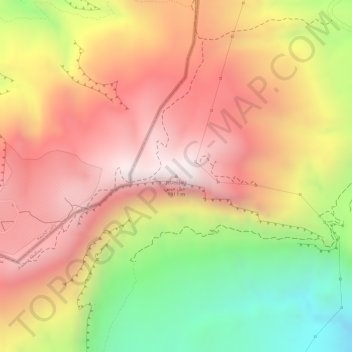
Name: Jebel Jais topographic map, elevation, terrain.
Location: Jebel Jais, Bukha Province, Musandam Governorate, Oman (25.95338 56.18426 25.95348 56.18436)
Average elevation: 1,580 m
Minimum elevation: 1,097 m
Maximum elevation: 1,905 m
Make a donation
Gear up for your next adventure:
As an Amazon Associate, this site earns from qualifying purchases at no extra cost to you.