Geolocate

Aronda topographic map

Click on the map to display elevation.

About this map

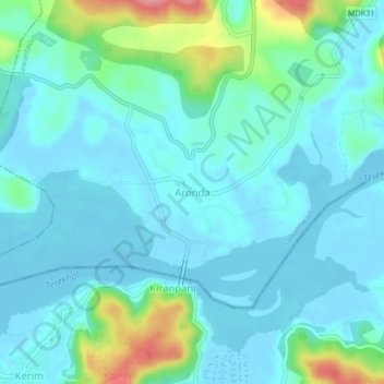
Name: Aronda topographic map, elevation, terrain.

Location: Aronda, Sawantwadi, Sindhudurg, Maharashtra, 416513, India (15.71313 73.70101 15.75313 73.74101)

Average elevation: 20 m

Minimum elevation: -3 m

Maximum elevation: 107 m

Gear up for your next adventure:

💧Hydration Reservoirs - Convenient water bladders for hands-free drinking on the move
🦶Anti-Blister Balms - Protect your feet before long topographic expeditions
🐕Dog Hiking Gear - Equipment for hiking safely with dogs
🦟Anti-Midge & Tick Repellent - Vital for hiking in the Scottish Highlands during summer
🧭Professional Hiking Compasses - High-precision liquid-filled compasses for map reading and orientation

As an Amazon Associate, this site earns from qualifying purchases at no extra cost to you.