
Simpang Kanan topographic map
Interactive map
Click on the map to display elevation.
About this map
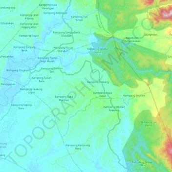
Name: Simpang Kanan topographic map, elevation, terrain.
Location: Simpang Kanan, Aceh Singkil, Aceh, Sumatra, Indonesia (2.35251 97.92121 2.48854 98.15171)
Average elevation: 113 m
Minimum elevation: 2 m
Maximum elevation: 721 m
Other topographic maps
Click on a map to view its topography, its elevation and its terrain.