
Qush Tepa District topographic map
Interactive map
Click on the map to display elevation.
About this map
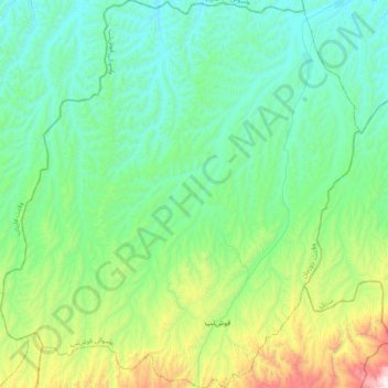
Name: Qush Tepa District topographic map, elevation, terrain.
Location: Qush Tepa District, Jowzjan Province, Afghanistan (36.02812 65.16049 36.35589 65.53582)
Average elevation: 812 m
Minimum elevation: 506 m
Maximum elevation: 1,971 m