
Lanceaumont topographic map
Interactive map
Click on the map to display elevation.
About this map
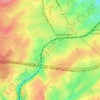
Name: Lanceaumont topographic map, elevation, terrain.
Location: Lanceaumont, Welkenraat, Verviers, Luik, Wallonië, 4840, België (50.63452 5.94440 50.67452 5.98440)
Average elevation: 269 m
Minimum elevation: 224 m
Maximum elevation: 307 m
Other topographic maps
Click on a map to view its topography, its elevation and its terrain.
Welkenraat
België > Luik > Verviers > Welkenraat
Welkenraat, Verviers, Luik, Wallonië, 4840, België
Average elevation: 263 m