
Houyet topographic map
Interactive map
Click on the map to display elevation.
About this map
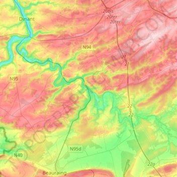
Name: Houyet topographic map, elevation, terrain.
Location: Houyet, Dinant, Province de Namur, Wallonie, Belgique (50.13214 4.85234 50.25139 5.11989)
Average elevation: 215 m
Minimum elevation: 83 m
Maximum elevation: 341 m