
Guldborg Sund topographic map
Click on the map to display elevation.
About this map
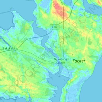
Name: Guldborg Sund topographic map, elevation, terrain.
Location: Guldborg Sund, Region Zealand, Denmark (54.65155 11.64998 54.93035 11.91110)
Average elevation: 6 m
Minimum elevation: -6 m
Maximum elevation: 40 m
Other topographic maps
Click on a map to view its topography, its elevation and its terrain.