
เกาะบุโหลนไม้ไผ่ topographic map
Interactive map
Click on the map to display elevation.
About this map
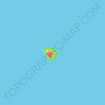
Name: เกาะบุโหลนไม้ไผ่ topographic map, elevation, terrain.
Location: เกาะบุโหลนไม้ไผ่, Satun, Thailand (6.82881 99.58489 6.83386 99.59062)
Average elevation: 1 m
Minimum elevation: 0 m
Maximum elevation: 73 m