Geolocate

Coron topographic map

Click on the map to display elevation.

About this map
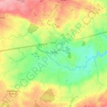
Name: Coron topographic map, elevation, terrain.

Location: Coron, Cholet, Maine-et-Loire, Pays de la Loire, Metropolitan France, 49690, France (47.08877 -0.68885 47.15139 -0.58748)

Average elevation: 152 m

Minimum elevation: 91 m

Maximum elevation: 216 m

Other topographic maps

Click on a map to view its topography, its elevation and its terrain.

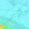
Cornu

France > Pays de la Loire > Maine-et-Loire > Terranjou

Average elevation: 53 m

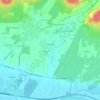
Les Pentes

France > Pays de la Loire > Maine-et-Loire > Saumur

Average elevation: 49 m

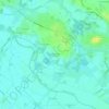
Conception

France > Pays de la Loire > Maine-et-Loire

Average elevation: 72 m

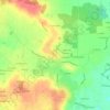
Gallard

France > Pays de la Loire > Maine-et-Loire > Sèvremoine

Average elevation: 99 m

Gear up for your next adventure:

📱Phone Mounts for Hiking - Secure mounts to carry your phone on trails
🥾Walking Shoes - Lightweight walking shoes for countryside and coastal paths
🔦Head Torches - Hands-free lighting for hiking and camping
🔦Outdoor Torches - Reliable torches for night navigation
🔋Rechargeable Batteries - Eco-friendly power for headlamps and older GPS units

As an Amazon Associate, this site earns from qualifying purchases at no extra cost to you.