
Dugo Selo topographic map
Interactive map
Click on the map to display elevation.
About this map
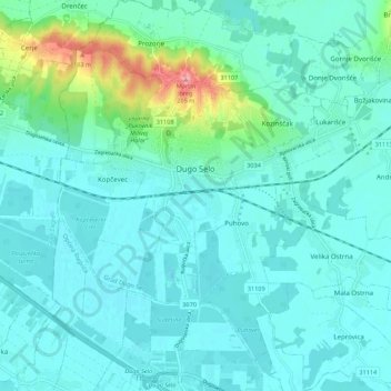
Name: Dugo Selo topographic map, elevation, terrain.
Location: Dugo Selo, Zagreb County, 10370, Croatia (45.76286 16.19935 45.83868 16.30134)
Average elevation: 112 m
Minimum elevation: 95 m
Maximum elevation: 200 m