
Naters topographic map
Interactive map
Click on the map to display elevation.
About this map
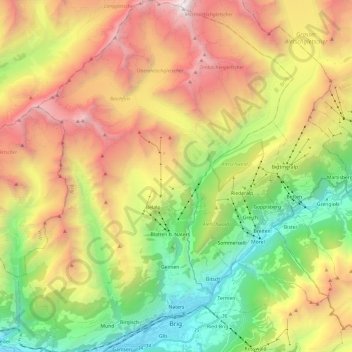
Name: Naters topographic map, elevation, terrain.
Location: Naters, Brig, Wallis, Schweiz (46.30276 7.88436 46.46917 8.06873)
Average elevation: 2,164 m
Minimum elevation: 646 m
Maximum elevation: 4,159 m