
Dahiwadi topographic map
Interactive map
Click on the map to display elevation.
About this map
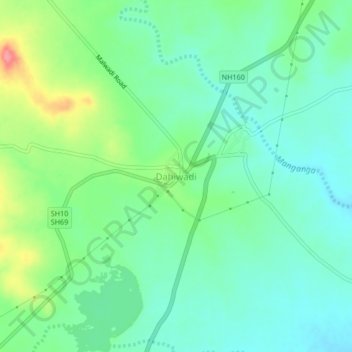
Name: Dahiwadi topographic map, elevation, terrain.
Location: Dahiwadi, Man, Satara District, Maharashtra, 415508, India (17.68237 74.52189 17.72237 74.56189)
Average elevation: 724 m
Minimum elevation: 699 m
Maximum elevation: 783 m
Other topographic maps
Click on a map to view its topography, its elevation and its terrain.
Shikhar Shinganapur
India > Maharashtra > Man > Shikhar Shinganapur
Shikhar Shinganapur, Man, Satara, Maharashtra, India
Average elevation: 767 m