Geolocate

Sumner topographic map

Click on the map to display elevation.

About this map

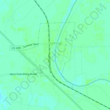
Name: Sumner topographic map, elevation, terrain.

Location: Sumner, Tallahatchie County, Mississippi, United States (33.95983 -90.37855 33.97609 -90.36276)

Average elevation: 45 m

Minimum elevation: 41 m

Maximum elevation: 49 m

Other topographic maps

Click on a map to view its topography, its elevation and its terrain.

Enid

United States > Mississippi > Tallahatchie County

Average elevation: 99 m

Gear up for your next adventure:

🔪Outdoor Multi-Tools - Versatile tools for gear repairs and food prep in the wild
📚UK Hiking Guidebooks - Detailed route descriptions for the Lake District, Peaks, and Highlands
🧣Neck Gaiters - Versatile protection against wind and cold
🗺️Scratch-off Peak Maps - Track your progress climbing Munros or Wainwrights
🦶Anti-Blister Balms - Protect your feet before long topographic expeditions

As an Amazon Associate, this site earns from qualifying purchases at no extra cost to you.