
Fundong topographic map
Interactive map
Click on the map to display elevation.
About this map
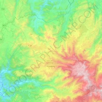
Name: Fundong topographic map, elevation, terrain.
Location: Fundong, Boyo, Nord-Ouest, Cameroun (6.25765 10.10977 6.42570 10.52110)
Average elevation: 1,287 m
Minimum elevation: 569 m
Maximum elevation: 2,671 m