
Бөрлі ауылдық округі topographic map
Interactive map
Click on the map to display elevation.
About this map
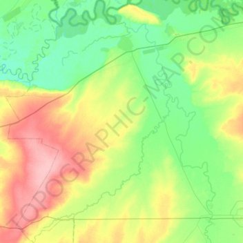
Name: Бөрлі ауылдық округі topographic map, elevation, terrain.
Average elevation: 71 m
Minimum elevation: 39 m
Maximum elevation: 138 m
Other topographic maps
Click on a map to view its topography, its elevation and its terrain.
Aksay
Kazakhstan > West Kazakhstan Region > Börli district > Ақсай қалалық әкімдігі
Average elevation: 68 m