
Giżycko topographic map
Interactive map
Click on the map to display elevation.
About this map
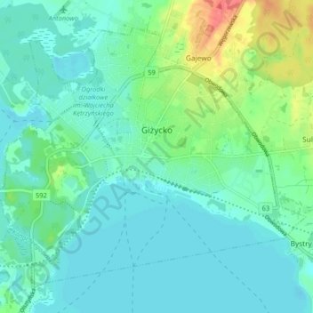
Name: Giżycko topographic map, elevation, terrain.
Average elevation: 125 m
Minimum elevation: 111 m
Maximum elevation: 172 m
Other topographic maps
Click on a map to view its topography, its elevation and its terrain.
Dejguny
Poland > Warmian-Masurian Voivodeship > Giżycko County > Sterławki Małe
Average elevation: 122 m