
Casemasce topographic map
Interactive map
Click on the map to display elevation.
About this map
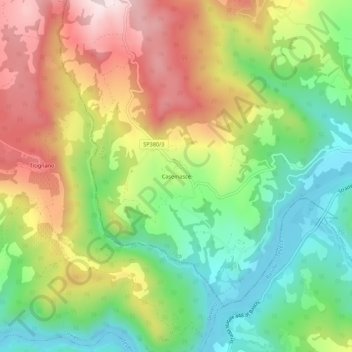
Name: Casemasce topographic map, elevation, terrain.
Location: Casemasce, Todi, Perugia, Umbria, 06059, Italia (42.73566 12.28828 42.77566 12.32828)
Average elevation: 336 m
Minimum elevation: 128 m
Maximum elevation: 603 m