
Sacher topographic map
Interactive map
Click on the map to display elevation.
About this map
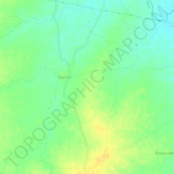
Name: Sacher topographic map, elevation, terrain.
Location: Sacher, Raisen Tahsil, Raisen District, Madhya Pradesh, Indien (23.33716 77.90898 23.37592 77.95426)
Average elevation: 441 m
Minimum elevation: 430 m
Maximum elevation: 453 m