
Make a donation
Gear up for your next adventure:
As an Amazon Associate, this site earns from qualifying purchases at no extra cost to you.
Jerai topographic map
Click on the map to display elevation.
Make a donation
Gear up for your next adventure:
As an Amazon Associate, this site earns from qualifying purchases at no extra cost to you.
About this map
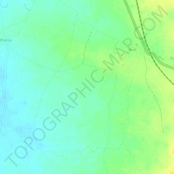
Name: Jerai topographic map, elevation, terrain.
Location: Jerai, Sagar Tahsil, Sagar, Madhya Pradesh, India (23.85087 78.58916 23.87245 78.61059)
Average elevation: 499 m
Minimum elevation: 488 m
Maximum elevation: 514 m
Make a donation
Gear up for your next adventure:
As an Amazon Associate, this site earns from qualifying purchases at no extra cost to you.
Other topographic maps
Click on a map to view its topography, its elevation and its terrain.
Jaisinghnagar
India > Madhya Pradesh > Sagar Tahsil
Jaisinagar is located at 23°41'07.5"N 81°23'26.5"E. It has an average elevation of 593 metres (1,945 feet).
Average elevation: 567 m