
Coffeeville topographic map
Interactive map
Click on the map to display elevation.
About this map
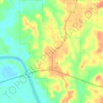
Name: Coffeeville topographic map, elevation, terrain.
Location: Coffeeville, Clarke County, Alabama, United States (31.74248 -88.10637 31.78755 -88.06611)
Average elevation: 33 m
Minimum elevation: 2 m
Maximum elevation: 69 m