
Goromonzi topographic map
Interactive map
Click on the map to display elevation.
About this map
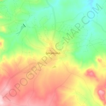
Name: Goromonzi topographic map, elevation, terrain.
Location: Goromonzi, Mashonaland East Province, Zimbabwe (-17.89544 31.33610 -17.81544 31.41610)
Average elevation: 1,426 m
Minimum elevation: 1,287 m
Maximum elevation: 1,599 m