
Indiana Dunes State Park topographic map
Interactive map
Click on the map to display elevation.
About this map
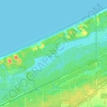
Name: Indiana Dunes State Park topographic map, elevation, terrain.
Average elevation: 186 m
Minimum elevation: 175 m
Maximum elevation: 218 m
Other topographic maps
Click on a map to view its topography, its elevation and its terrain.
Chesterton
United States > Indiana > Porter County > Chesterton
Chesterton, Porter County, Indiana, 46304, United States
Average elevation: 197 m