
Salik topographic map
Interactive map
Click on the map to display elevation.
About this map
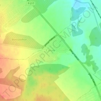
Name: Salik topographic map, elevation, terrain.
Average elevation: 39 m
Minimum elevation: 14 m
Maximum elevation: 63 m
Other topographic maps
Click on a map to view its topography, its elevation and its terrain.
Kullar
Russia > Dagestan > Derbentsky District
Kullar, сельское поселение Село Куллар, Derbentsky District, Dagestan, North Caucasian Federal District, 368616, Russia
Average elevation: 50 m