
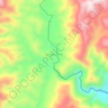
Po-Lem-Sa-Ang topographic map
Interactive map
Click on the map to display elevation.
About this map
Name: Po-Lem-Sa-Ang topographic map, elevation, terrain.
Location: Po-Lem-Sa-Ang, Kaleum District, Sekong Province, Laos (15.93933 106.80117 15.97933 106.84117)
Average elevation: 740 m
Minimum elevation: 454 m
Maximum elevation: 1,037 m