
Sameiro topographic map
Interactive map
Click on the map to display elevation.
About this map
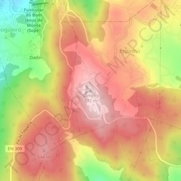
Name: Sameiro topographic map, elevation, terrain.
Location: Sameiro, Braga, 4715-616, Portugal (41.54177 -8.36954 41.54187 -8.36944)
Average elevation: 446 m
Minimum elevation: 246 m
Maximum elevation: 570 m
Other topographic maps
Click on a map to view its topography, its elevation and its terrain.