
Malvern topographic map
Interactive map
Click on the map to display elevation.
About this map
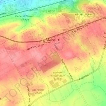
Name: Malvern topographic map, elevation, terrain.
Location: Malvern, Chester County, Pennsylvania, 19355, United States (40.02270 -75.53059 40.04281 -75.49970)
Average elevation: 153 m
Minimum elevation: 94 m
Maximum elevation: 183 m