Geolocate

Torsholma topographic map

Click on the map to display elevation.

About this map

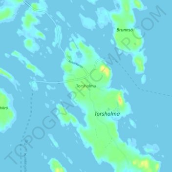
Name: Torsholma topographic map, elevation, terrain.

Location: Torsholma, Brändö, Ålands Archipelago, Åland Islands, Finland (60.33729 21.04354 60.37729 21.08354)

Average elevation: 2 m

Minimum elevation: -18 m

Maximum elevation: 22 m

Gear up for your next adventure:

🔥Emergency Fire Starters - Reliable ignition tools for survival situations in damp conditions
🥄Titanium Camping Sporks - The ultimate lightweight utensil for trail meals
📸Action Camera Chest Mounts - Record your ascent following topographic paths hands-free
🗺️Topographic Maps - Detailed maps showing elevation and terrain features
🧢Thermal Beanie Hats - Prevent heat loss from the head in windy summit conditions

As an Amazon Associate, this site earns from qualifying purchases at no extra cost to you.