Geolocate

Konduga topographic map

Click on the map to display elevation.

About this map

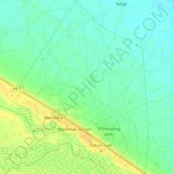
Name: Konduga topographic map, elevation, terrain.

Location: Konduga, Borno State, Nigeria (11.63625 13.37548 11.71143 13.43712)

Average elevation: 324 m

Minimum elevation: 315 m

Maximum elevation: 339 m

Other topographic maps

Click on a map to view its topography, its elevation and its terrain.

1000 Eatate

Nigeria > Borno State > Konduga

Average elevation: 335 m

Gear up for your next adventure:

🐕Hiking Dog Harnesses - Rugged harnesses for taking your companion on mountain trails
🧴Sport Sunscreen Sticks - High-protection sunblock that won't run into your eyes on the trail
🎒Hiking Backpacks - Comfortable backpacks for day hikes and multi-day treks
🧺Microfibre Travel Towels - Fast-drying and compact towels for wild swimming and camping
📍Handheld GPS Navigators - Reliable satellite navigation for hiking and off-road exploration

As an Amazon Associate, this site earns from qualifying purchases at no extra cost to you.