Geolocate

Dhahran topographic map

Click on the map to display elevation.

About this map

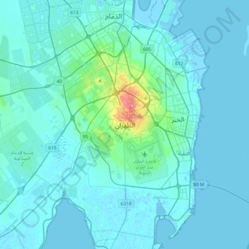
Name: Dhahran topographic map, elevation, terrain.

Location: Dhahran, Dhahran Compound, Dammam Governorate, Eastern Province, 34464, Saudi Arabia (26.13665 49.96021 26.45665 50.28021)

Average elevation: 10 m

Minimum elevation: -5 m

Maximum elevation: 134 m

Other topographic maps

Click on a map to view its topography, its elevation and its terrain.

Ar Rayyan

Saudi Arabia > Eastern Province > Dammam

Average elevation: 21 m

Saihat Lake

Saudi Arabia > Eastern Province > Sayhat

Average elevation: 3 m

Corniche

Saudi Arabia > Eastern Province > Dammam

Average elevation: 3 m

Gear up for your next adventure:

🎒Backpack Rain Covers - Universal waterproof covers to protect your gear from downpours
🗺️Ordnance Survey Maps - Official UK maps for walking and outdoor activities
🧘Folding Sit Mats - Dry and warm seat for map-reading breaks on damp ground
👕Merino Base Layers - Natural temperature regulation for cold weather hiking and camping
📚UK Hiking Guidebooks - Detailed route descriptions for the Lake District, Peaks, and Highlands

As an Amazon Associate, this site earns from qualifying purchases at no extra cost to you.