
Rancho Viejo topographic map
Interactive map
Click on the map to display elevation.
About this map
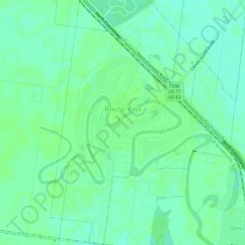
Name: Rancho Viejo topographic map, elevation, terrain.
Location: Rancho Viejo, Cameron County, Texas, United States (26.01662 -97.56986 26.05769 -97.53617)
Average elevation: 12 m
Minimum elevation: 7 m
Maximum elevation: 14 m
Other topographic maps
Click on a map to view its topography, its elevation and its terrain.
Valle Verde Colonia
United States > Texas > Cameron County > La Feria > Valle Verde Colonia
Average elevation: 19 m