
Björnrike topographic map
Interactive map
Click on the map to display elevation.
About this map
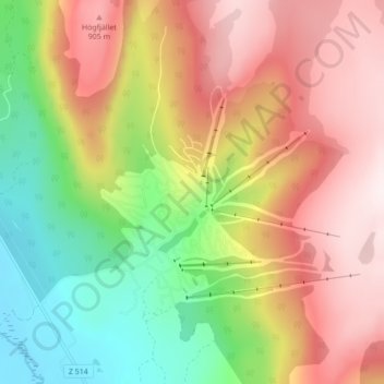
Name: Björnrike topographic map, elevation, terrain.
Location: Björnrike, Härjedalens kommun, Jämtland County, Sweden (62.40325 13.93374 62.44325 13.97374)
Average elevation: 686 m
Minimum elevation: 394 m
Maximum elevation: 977 m
Other topographic maps
Click on a map to view its topography, its elevation and its terrain.