
Lauren topographic map
Interactive map
Click on the map to display elevation.
About this map
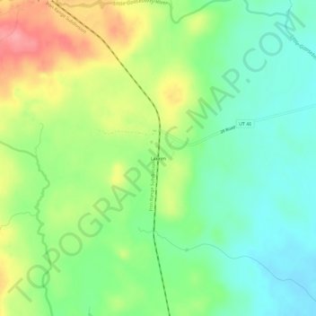
Name: Lauren topographic map, elevation, terrain.
Location: Lauren, Lake County, Minnesota, États-Unis d'Amérique (47.16465 -91.71767 47.20465 -91.67767)
Average elevation: 466 m
Minimum elevation: 430 m
Maximum elevation: 524 m